Demonstration site. IMEALL is a fictional research project. All people, organisations, publications, data and events on this site are sample content.

Updates

First open dataset released: 2025 beach profiles

Release 1 of the IMEALL beach profile dataset is now available as a CSV with a methods note, under a CC BY 4.0 licence.

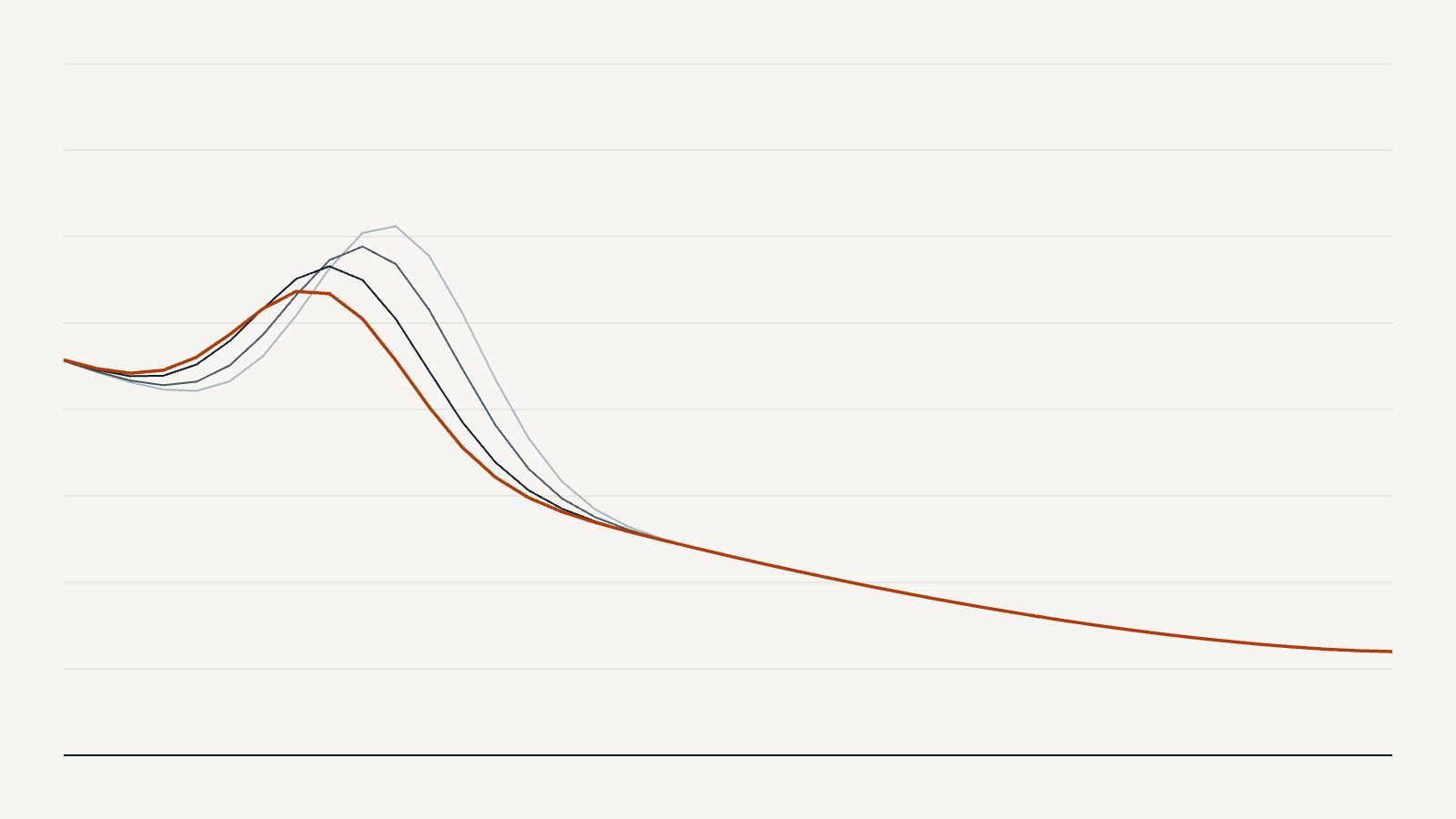
Line chart of four beach profiles from different survey dates

The first data release covers three survey rounds at all twelve sites. Each row is one surveyed point: site, transect, date, distance along the transect and elevation.

Download it from the document library, or read the dataset record for how to cite it.

How to use it

The file opens in any spreadsheet program. For mapping, join it to the study site locations file by site number.

More updates

  1. Events

    Registration open for the community drone survey workshop

    Join the survey team in Strandhill on 19 November for a hands-on day on drone surveys and community photo posts.

  2. Project news

    IMEALL at Coastal Futures Ireland 2026

    Three talks from the team at the (fictional) Coastal Futures Ireland meeting, on drone surveys, fixed cameras and what councils need from monitoring data.

  3. Data releases

    First open dataset released: 2025 beach profiles

    Release 1 of the IMEALL beach profile dataset is now available as a CSV with a methods note, under a CC BY 4.0 licence.